
Stores
300
Store surveyors
2 to 3
Days
1 to 2

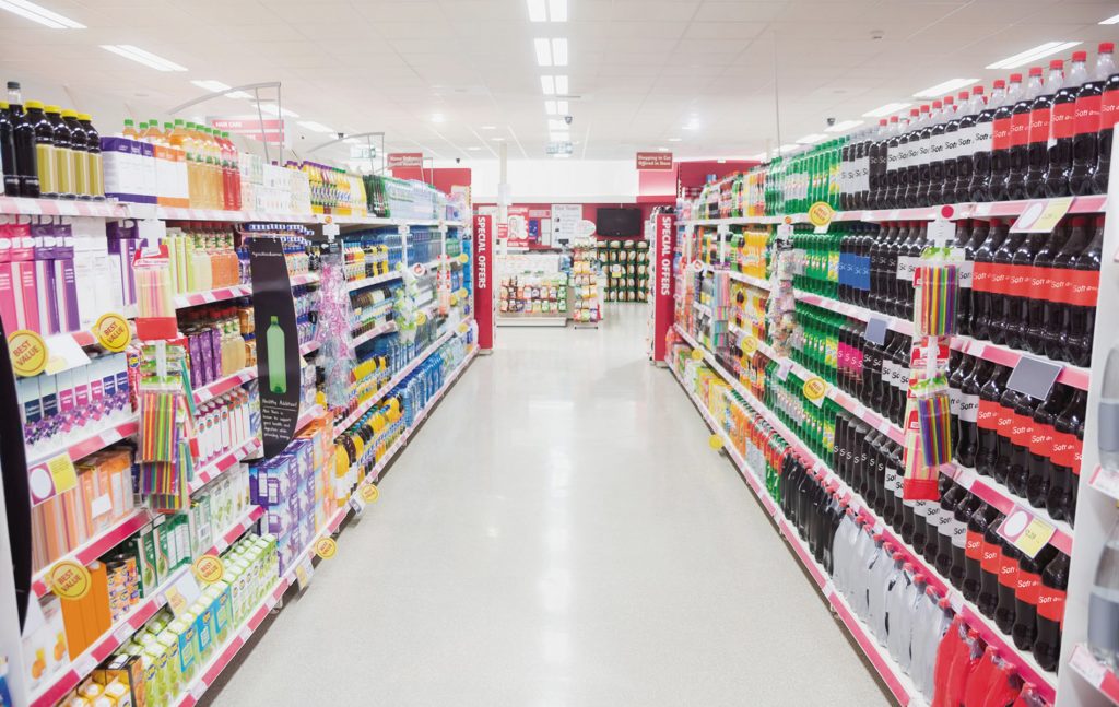
A nationwide DIY retailer was looking to launch a navigation and product locator app for their 300 stores. To enable them to do this they required accurate store surveys to be completed.
THE CHALLENGE
The nationwide DIY retailer partnered with RGIS to have the full store layout surveys conducted. Their requirements were:
- To be able to regularly use RGIS for full store layout surveys across all of its 300 stores in the UK
- This would be integrated into their current app which would help direct customers to the exact bay(s) within a store that the product was currently located in
- It would also be able to inform them if the product they were looking for was not currently stocked in store
Sectors
Why RGIS?
Customers choose RGIS to complete store layout surveys for a store navigation app because our precise, detailed mapping ensures accurate digital store plans that enhance in-app navigation, improve customer experience, and support seamless technology integration.
Our Solutions
RGIS worked with the nationwide DIY retailer to complete the full store layout surveys:
Dedicated teams of 2-3 store surveyors were sent to each store
Each store took approximately 18-36 hours, and were completed over 1-2 days
RGIS verified and updated the following elements on the customer’s existing plans: Size (HxWxD) and position of racks/gondola and promo zones
Capture various additional information on each bay such as manufacturer, color, in-bay lighting and specialist displays
Five unique products were scanned per bay to ensure the DataCollector program had sufficient data to determine the correct planogram was assigned to a bay (minimum 10,000 SELs scanned per store)
RGIS captured and updated the plan to show the location number that was physically placed in store as this was the key identifier that would allow the app to map products accurately to the bay on the drawing
The completed survey drawing was then converted into CAD by the RGIS SLS team
Elements of the drawing were formatted according to the customer’s pre-defined specifications (text/dim styles, layers, viewports etc.) and a series of QA checks were performed using custom built tools
Results
The nationwide DIY retailer found working with RGIS produced the following:
The stores were added to the app and are available now for the public to use
The customer will now review and compare the data from this year’s mapping audits with their in-store Product-Bay allocation system to ensure they are accurate before progressing on to the next stage
Because they are an existing SmartSpace customer the updated CAD drawing was fed directly into their live database without the need for any editing

Conclusion
By partnering with RGIS, the nationwide DIY retailer successfully added all stores to its navigation app, received CAD drawings that fed directly into its SmartSpace database, and gained accurate mapping data to compare against its bay allocation system before moving to the next project stage.